How Satellite AI Is Mapping Every Roof's Solar Potential
Key Takeaways
- Commercial satellites can now resolve rooftop features at 10cm ground sampling distance, enabling AI models to detect obstructions, shading, and usable panel area with extraordinary precision.
- Google's Solar API now covers 320 million buildings across 40+ countries, and its new "Detected Arrays" feature can automatically identify existing solar installations from orbit.
- The global rooftop solar mapping market is on track to grow from $520 million in 2026 to $1.67 billion by 2033, driven by AI, cloud deployment, and real-time energy grid integration.
- Emerging trends like Edge-AI on satellites and super-resolution 5cm mapping are making site visits increasingly obsolete — and making pre-purchase solar assessments dramatically more accurate.
- California homeowners navigating NEM 3.0, utility-specific rules, and SGIP incentives have the most to gain from hyperlocal, satellite-derived solar modeling.
The Rooftop Has Become a Data Point — A Very Valuable One
Not long ago, figuring out whether your roof could host a productive solar system meant scheduling a site visit, waiting for a sales rep with a clipboard, and hoping their shade analysis was more than a rough eyeball estimate. That world is rapidly disappearing.
In its place: a convergence of commercial satellite imagery, machine learning, and cloud computing that can assess your roof's solar potential — panel capacity, shading profile, structural characteristics, annual yield — in minutes, from space, without anyone ever knocking on your door.
This isn't a distant promise. It's the infrastructure quietly reshaping the solar industry right now, in 2026. And for California homeowners evaluating solar under NEM 3.0's new economics, understanding this technology matters more than ever.
The Resolution Revolution: When Satellites Could Finally See Your Chimney
Satellite imagery has existed for decades, but its usefulness for rooftop-level solar analysis was historically limited by resolution. A 50cm pixel can tell you a building exists. It cannot tell you whether a plumbing vent, a skylight, or a poorly placed HVAC unit is going to compromise your system's output.
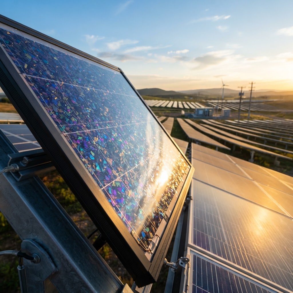
That changed dramatically in April 2026, when 10cm native Ground Sampling Distance (GSD) became widely accessible for AI solar training models — a benchmark that represents roughly a 25-fold improvement in pixel density over imagery that was considered "high resolution" a decade ago. At 10cm GSD, a satellite can effectively resolve objects the size of a coffee mug on your roof.
More remarkably, AI super-resolution pipelines are now pushing that effective resolution even further. Using deep learning to synthesize detail from 15cm native imagery, some platforms are producing working maps at 5cm effective resolution — enough to detect micro-obstructions, identify aging shingles, and map panel placement opportunities around every vent stack and parapet edge.
As Dr. Julian Vane, Chief Geospatial Scientist at HelioMap AI, puts it:
"By mid-2026, we stopped viewing roofs as static architectural elements. With our current sub-5cm AI pipelines, we treat every rooftop as a live, dynamic battery in a global energy machine."
That framing — rooftops as dynamic batteries — is not hyperbole. It's the technical and philosophical foundation of everything that follows.
Google's Solar API and the 320-Million-Building Dataset
The clearest sign that satellite solar mapping has crossed from niche tool to mainstream infrastructure is Google's Solar API. As of its May 2026 update, the platform provides detailed solar potential data — irradiance modeling, roof segment analysis, panel layout optimization — for over 320 million buildings across 40+ countries.
But the more consequential announcement came on May 11, 2026, with the general availability of "Detected Arrays": a feature that uses satellite imagery to automatically identify existing rooftop solar installations, without requiring any homeowner-reported data or ground-truth verification. For the first time, a single platform can simultaneously map where solar could go and where it already exists, at a global scale.
This capability has immediate practical applications:
- Installers can identify neighborhoods with high solar adoption rates and target adjacent homes likely to convert.
- Utilities can quantify distributed generation on their grids without relying on interconnection records alone.
- Policymakers can track solar deployment progress against climate targets in near-real time.
- Homeowners can benchmark their block's adoption and understand what their neighbors' systems suggest about their own roof's viability.
For California specifically, this kind of aggregated data is invaluable. Understanding whether a neighborhood's rooftops skew toward high NEM 3.0 self-consumption ratios — or whether battery storage is essential to make the economics work — requires exactly the kind of portfolio-level insight that satellite AI is uniquely positioned to provide.
Processing Power in Orbit: The Edge-AI Shift
One of the most technically significant trends reshaping this space is Edge-AI on satellites — moving the computation of rooftop segmentation and shading analysis off the ground and onto the satellite itself, processing data in orbit before it ever touches a terrestrial server.
The logic is straightforward: downloading raw high-resolution imagery is bandwidth-intensive, slow, and expensive. If the satellite's onboard processor can segment rooftops, calculate shading angles, and flag optimal panel zones before transmitting a compressed, analysis-ready output, the entire pipeline becomes dramatically faster and cheaper.
In early 2026, SpaceX and xAI announced a "Space Computing" initiative designed to do exactly this — processing Earth observation data directly in orbit to significantly reduce the latency between satellite pass and rooftop solar potential report. Separately, China's first Space Computing Innovation Center opened in Beijing in June 2026, explicitly integrating rocket manufacturing with AI-driven energy mapping for smart city planning — a signal that orbital computing for energy applications is now a geopolitical priority, not just a startup moonshot.
The market numbers reflect this momentum. The global rooftop solar mapping market reached an estimated $520 million in early 2026, with projections pointing toward $1.67 billion by 2033. Cloud-based deployment already accounts for 61% of that market, enabling even small regional installers to access high-resolution AI assessments without investing in local hardware infrastructure.
From Individual Roofs to Virtual Power Plants
The most forward-looking application of satellite solar mapping isn't about individual homes at all — it's about what happens when you connect millions of them.
On June 24, 2026, a landmark partnership between Tesla, Sunrun, and Google was unveiled with a specific goal: using satellite-derived rooftop data to synchronize energy discharge across 6 million homes, creating a software-managed distributed energy network of unprecedented scale. This is the real-time Virtual Power Plant (VPP) concept made operational — individual rooftop solar-plus-battery systems, identified and characterized via satellite, linked into a single responsive grid asset.
For California homeowners, this isn't abstract. The state's grid operator, CAISO, has been actively building VPP participation frameworks. Programs tied to SCE, PG&E, and other utilities are already compensating homeowners for battery discharge during peak demand events. Satellite mapping is the technology that makes enrolling millions of homes into these programs feasible at scale — because you can only optimize a distributed network if you know, precisely, what each node can generate and store.
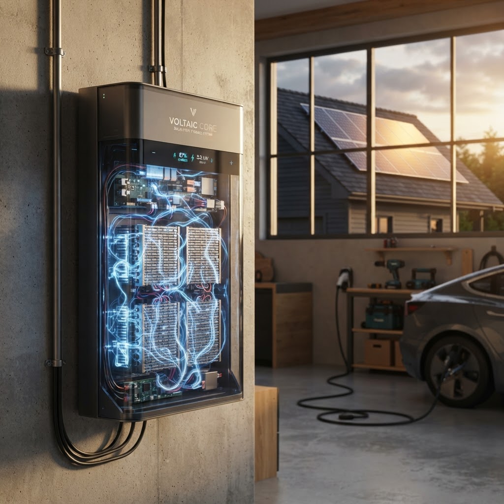
This is the philosophical core of what Solanano calls the nano-grid philosophy: solar plus battery not just as a bill reduction tool, but as a path to genuine home energy resilience — and increasingly, as a contributing node in a larger, more stable grid.
What This Means for California Homeowners Right Now
The satellite AI revolution in solar mapping is not just an industry story. It has direct, practical implications for any California homeowner evaluating solar in 2026:
- Pre-assessment accuracy is higher than ever. Before you talk to a single installer, a well-executed satellite irradiance model and shade analysis can give you a reliable estimate of your system's annual yield, self-consumption ratio, and NEM 3.0 bill offset — without a site visit.
- Shading analysis is now granular. AI-driven super-resolution mapping can detect the shadow cast by a neighbor's mature tree at the winter solstice at 3pm. The difference between a well-shaded and well-sunlit roof section can mean thousands of dollars in ten-year ROI under NEM 3.0's export-rate economics.
- Battery sizing decisions benefit from real data. Planetary variable integration — fusing rooftop irradiance data with live satellite inputs like ambient heat and atmospheric conditions — is producing yield forecasts accurate enough to right-size battery storage for California's time-of-use rate structures.
- Vetting installers matters more, not less. As AI-generated solar assessments proliferate, so do low-quality analyses dressed up with impressive-looking satellite graphics. An independent eye — one that isn't selling you a system — is essential to separating genuine insight from marketing gloss.
That independence is exactly what Solanano is built around. Our 4-stage installer qualification process — verifying licensing and insurance, NABCEP certification, track record, and ongoing performance scoring — exists precisely because the technology for assessing rooftops has outpaced most homeowners' ability to evaluate who's actually using it well.
Trends to Watch Through 2027
- Edge-AI on satellites will reduce rooftop assessment turnaround from hours to seconds.
- Super-resolution 5cm HD mapping will become the baseline expectation for any credible solar proposal.
- VPP enrollment will be increasingly tied to satellite-verified system specifications, making accurate pre-installation modeling a prerequisite for program participation.
- Asia-Pacific will drive the next wave of mapping innovation, with a projected CAGR of 19.2% through 2026, fueled by urban solar mandates in India and China — but California will remain the most complex regulatory environment to model accurately.
Bottom Line
Satellite AI has transformed rooftop solar assessment from an art form dependent on individual site visits into a precise, data-rich science accessible to any homeowner with a street address. The resolution, speed, and analytical depth now available from orbital platforms — combined with tools like Google's Solar API, Edge-AI processing, and real-time VPP integration — mean that the information gap between homeowners and installers is narrowing fast. But as Sarah Chen, Lead Engineer at OrbitalGrid Systems, reminds us: "The 'site visit' is now a historical relic. We can now determine the exact solar ROI, structural integrity, and shading profiles of an entire city neighborhood in less time than it takes to brew a coffee." The question for California homeowners isn't whether this data exists about your roof — it does. The question is whether you have an independent, expert interpreter helping you act on it correctly.
Ready to find out what the satellites already know about your roof? Get your free, no-obligation solar assessment from Solanano — independent analysis, hyperlocal NEM 3.0 modeling, and zero conflict of interest, because we're never selling you a system.